

INSPECTION INTELLIGENCE FROM ABOVE
AERIAL INSPECTIONS, DOCUMENTED LIKE AN ADJUSTER?
Roof inspections, thermal imaging, mapping and aerial documentation — delivered by an FAA-certified pilot who knows what the file needs.
CAPABILITIES
WHAT I FLY FOR.
From storm-damaged roofs to thermal diagnostics, every flight ends with clear, decision-ready documentation — not a folder of unexplained photos.
Roof Inspections
Residential and commercial roof imagery covering slopes, ridges, valleys, flashing and penetrations.
Thermal Imaging
Roof, building-envelope, HVAC, electrical and solar diagnostics that reveal hidden heat patterns.
Claim Documentation
Pre-claim and post-loss documentation shaped by real insurance-adjusting experience.
Mapping & 3D Models
Orthomosaic maps, 2D plans and 3D models for land records, construction and surveying support.
Construction Progress
Repeatable aerial records that keep owners, contractors and stakeholders aligned from anywhere.
Aerial Media
Listing photography, property documentation, 4K video, and event or venue coverage.
THERMAL IMAGING
SEE THE UNSEEN
The thermal advantage.
Moisture under a membrane. Heat bleeding through a building envelope. A failing electrical connection. A dead cell in a solar array. Thermal imaging turns invisible problems into visible evidence.
+ Building envelope & energy audits
+ HVAC & electrical inspections
+ Solar panel diagnostics
+ Residential & commercial roof scans

Storms don’t wait.
Neither do I.
I’ve worked the aftermath as an adjuster. When hail or wind hits, I can travel to storm-damaged areas for rapid roof inspections and claim documentation.
DECISION-READY OUTPUT
More than photos.
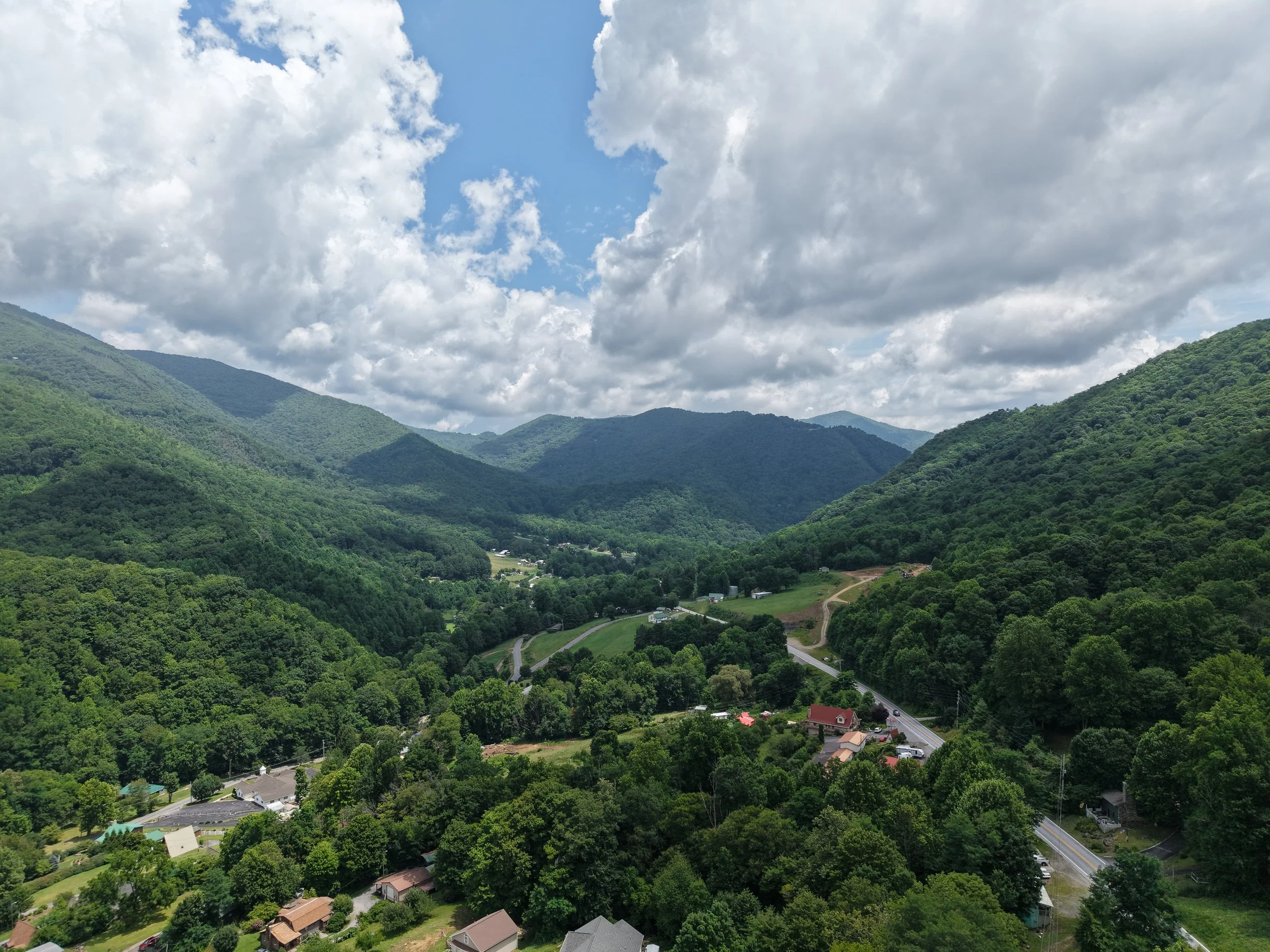
The value is what you can do with the flight. Every engagement is shaped around the evidence, records, and analysis your project actually needs.
- High-resolution aerial photos 01
- 4K aerial video 02
- Annotated inspection reports 03
- Orthomosaic maps & 3D models 04
- Thermal analysis & defect callouts 05
- Fast digital delivery 06

AN ADJUSTER’S EYE. A PILOT’S PERSPECTIVE.
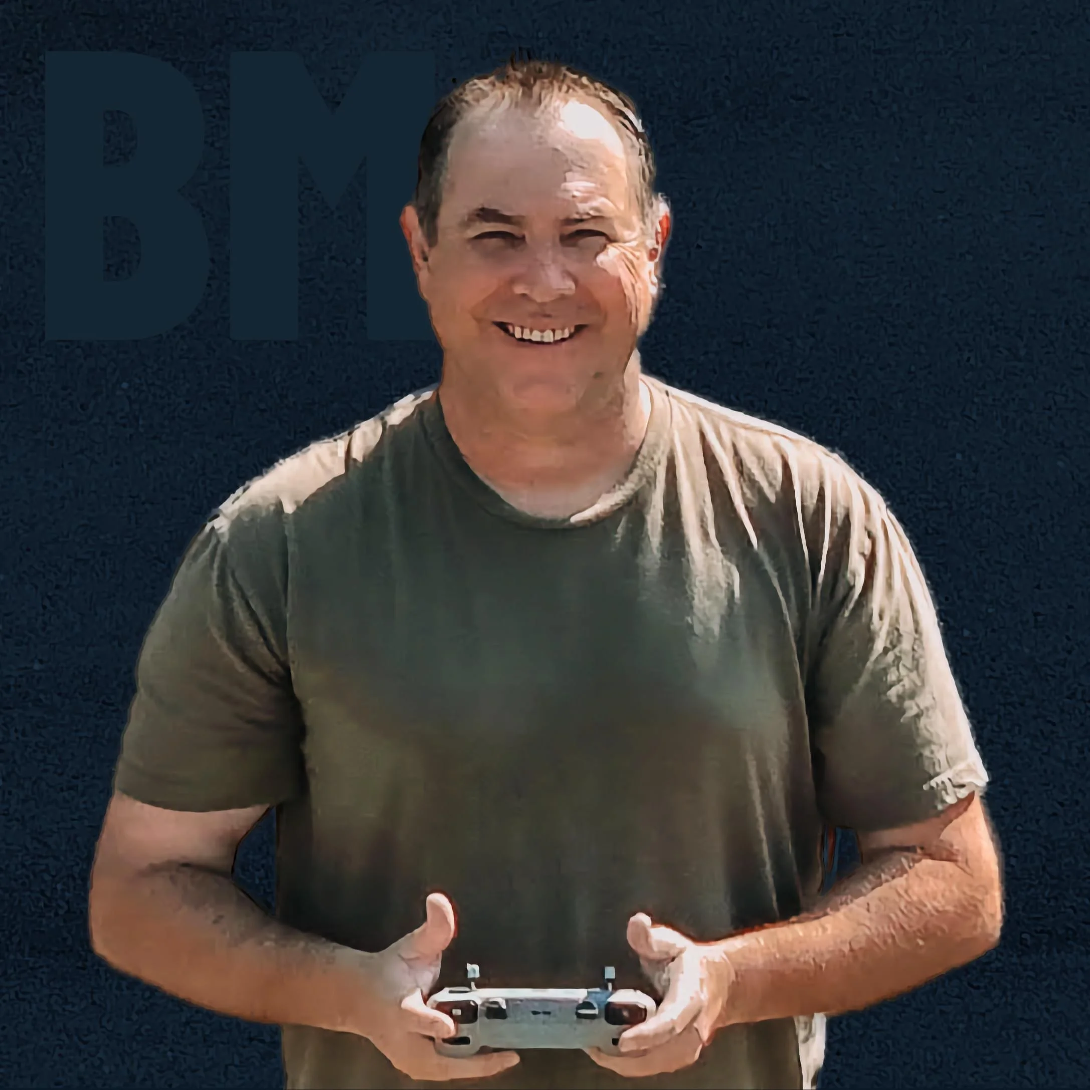
Meet Brett.
“I know what documentation gets claims approved and projects moving — now I fly the drone that captures it.”
I’m Brett Mitchell, owner and operator of On The Fly Drone Services. I’m a licensed insurance adjuster and FAA Part 107 certified drone pilot. With 15 years in real estate and years on the insurance side of the claim, I bring a practical understanding of what owners, contractors and carriers need to see.
Every flight is fully insured, and every deliverable is built to the standard I would have expected as an adjuster.
- FAA Part 107
- Licensed adjuster
- 15 years real estate
- Fully insured
- Thermal equipped
REGIONAL REACH
Based in the
mountains.
Ready to
deploy.
- Approx. regional reachAsheville, NC
- Approx. regional reachKnoxville, TN
- Approx. regional reachJohnson City, TN
- Approx. regional reachBristol, VA
- Approx. regional reachSpartanburg, SC
- Approx. regional reachCharlotte, NC
- As neededStorm zones
Serving Eastern Tennessee and the surrounding region, with flexible travel for the right project. For storm-response insurance work, On The Fly can go where the damage is.

What do you need
documented?
Tell Brett about the property, project or problem. He’ll tell you straight what the drone can do for it.
CALL OR TEXT
ONLINE